
Local Guide
Karst, Sinkholes and Where a Container Can Sit
Four things this page will not do, and then everything the Kentucky Geological Survey does say about the ground under Hardin County, quoted and left intact.
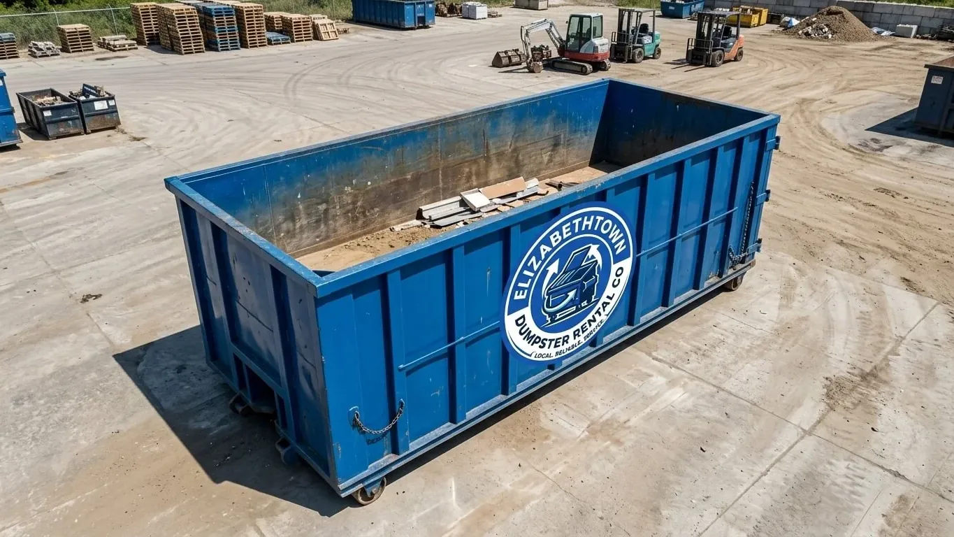
A loaded roll-off truck is one of the heaviest things that will ever come up your driveway. In Hardin County, what is under that driveway is limestone with water moving through it.
That is not atmosphere. The Kentucky Geological Survey lists Elizabethtown — along with Fort Knox and Munfordville, both of which are in our service area — among the cities of the Western Pennyroyal karst region. KGS states that about 55 percent of Kentucky is underlain by rocks that could develop karst terrain, that about 38 percent of the state has at least some karst development recognizable on topographic maps, and that 25 percent of the state is known to have well-developed karst features.
Before we go further, four things this page is not going to do, because they are the four ways this subject usually gets written badly.
- We are not going to tell you that heavy trucks cause sinkholes. No agency says that, and KGS attributes collapse to something else entirely. We will show you what it does attribute it to.
- We are not going to use a map — KGS’s or anyone’s — to tell you whether your property is at risk. KGS says its own sinkhole data is “not recommended for predicting future subsidence.”
- We are not going to publish a percentage of Hardin County that is karst, or a sinkhole count for the county. KGS does not publish either one on anything we could reach, and inventing a number here would be worse than saying nothing.
- We are not geologists. We move containers. What follows is KGS’s material, quoted, plus how we place a box on it.
What a sinkhole actually is, in KGS’s words
KGS’s definition is plainer than most people expect: “A sinkhole is any naturally occurring depression in the surface of the ground from which rainfall is drained internally.”
Most of them are not dramatic. They are the shallow bowl in the back pasture that never puddles for long. What people picture — the hole that opens overnight — comes about in one of two ways, and KGS describes both:
“The bedrock roof of a cave becomes too thin to support the weight of the bedrock and the soil material above it. The cave roof then collapses, forming a bedrock-collapse sinkhole.”
And the second, which KGS calls “much more common and much less dramatic”: “The sinkhole begins to form when a fracture in the limestone bedrock is enlarged by water dissolving the limestone. As the bedrock is dissolved and carried away underground, the soil gently slumps or erodes into the developing sinkhole.”
The mechanism is water and soil, not weight
This is the sentence that governs everything else on this page. KGS describes the process this way:
“As water flows through the soil into the underlying bedrock, it enlarges joints (cracks) in the bedrock to form grikes. When the overlying soil is repeatedly wetted and dried, small amounts of soil are dislodged and carried away by the cave conduit draining the sinkhole.”
Water. Wetting and drying. Soil moving downward through cracks, a little at a time, for years. That is the engine. It is not a truck, it is not a container, and it is not a single heavy afternoon. Anybody who tells you a roll-off caused a sinkhole is selling you something, and so is anybody who tells you a roll-off could not possibly matter anywhere. The honest position is that this is a placement and due-diligence question, not a weight question — and that in a county where roughly fifty inches of rain falls every year, water management around your foundation is worth more attention than the tonnage in your driveway.
KGS also records what sinkholes do when they do act: they “drain farm ponds, damage roads, and wreck farming equipment,” and can “severely damage buildings.”
The sentence that matters most for Hardin County
From KGS’s own Hardin County karst page, and this is the single most useful line in the whole subject for a homeowner here:
“Factories and homes built over filled sinkholes may be damaged as the fill is transported out of the sinkhole and the soil cover collapses.”
Read that carefully. The concern KGS raises is not untouched ground. It is ground that somebody already filled — a depression leveled off during a build, a low spot brought up with rubble and dirt so a slab or a drive could go over it. The fill is not permanent. Water keeps moving, and it can move the fill out the same way it moved the original soil.
In a county where about two in five homes were built before 1980, and where the biggest single building decade is the 1970s, a fair number of lots were graded by people who are no longer around to tell you what they did.
KGS’s own checklist for property owners
We are handing this over verbatim, because it is better than anything we could write and because it comes from the agency rather than from a hauler. KGS advises property owners to:
- “Ask the seller if any sinkholes have been filled, and, if so, where, how, and by whom.”
- “Look for previous damage to foundations and check doorframes and windows for squareness.”
- “Check the surrounding lot for shallow depressions and arch-shaped cracks in the soil.”
And on repairs, KGS is emphatic: “Always consult a professional geologist who is experienced in identifying karst subsidence and an engineer experienced in sinkhole remediation.”
Arch-shaped cracks in the soil is the phrase to keep. Not a hole. A curved crack in the ground, often in grass, often ignored for years. If you have one on the lot, that is the spot the container does not go, whatever else is true — and it is worth a conversation with somebody qualified rather than with us.
KGS’s karst material is at the Kentucky Geological Survey.
About the maps — and why we will not read yours
People sometimes ask us to look at a sinkhole map before delivery. We will not, and here is why, in KGS’s own words about its own data. The metadata for the statewide sinkhole layer carries this use constraint:
“Not recommended for predicting future subsidence.” And: “These data do not indicate the probability of future cover-collapse or bedrock collapse in the designated areas.”
It is worth understanding where the data came from. The older statewide layer digitized “the highest elevation, closed, topographic contour of each mapped sinkhole” from 7.5-minute topographic maps whose contour intervals “vary from 40 foot to 10 foot.” A feature smaller than the contour interval simply is not on those maps.
KGS now also publishes a LiDAR-derived sinkhole layer, built from five-foot-resolution digital elevation models, where surface depressions were extracted and visually inspected. KGS reports that “field verification suggests that the accuracy of the identified sinkholes to be real sinkholes is over 85%.” That is a much better instrument than a fifty-year-old contour map.
But better at finding features is not the same as predicting collapse, and KGS says so itself. A map showing nothing on your lot is not a clearance, and a map showing something nearby is not a verdict. Neither one is a substitute for walking the ground and looking for what KGS tells you to look for.
FEMA is paying to map karst in exactly this region
If you want a sense of how seriously this is taken here rather than how seriously a dumpster company takes it, look at who is funding the work.
The Kentucky Geological Survey received $293,984 from the Federal Emergency Management Agency, through the Kentucky Department of Military Affairs, to develop a multijurisdictional mitigation plan for karst for the Lincoln Trail Area Development District. The project uses LiDAR data “to characterize existing sinkholes, and to assess the area for risk of future sinkhole hazards,” and includes a web-based reporting system for sinkhole collapses and educational material on how they form.
The Lincoln Trail Area Development District is Hardin County’s own region — eight counties and twenty-seven cities, including Elizabethtown, Radcliff, Sonora, Upton, Vine Grove and West Point. A federal hazard mitigation grant, aimed at karst, naming this district. You will not find better third-party validation than that. We could not establish whether the completed plan has been published or what it concluded, so we are citing the grant and its purpose and nothing more. The district is at ltadd.org.
So where does the container actually go?
Here is what we do, and none of it depends on predicting anything.
The firmest surface you have, every time. A paved driveway beats a gravel drive; a gravel drive beats a compacted pad; a pad beats grass. Lawn placement in this county after a wet week is how a truck leaves ruts and how a box settles unevenly.
On protection. We put plywood or boards under the rails on any surface you care about. That is standard practice everywhere; here it also spreads the bearing over a wider footprint, which is simply good manners toward the ground you are standing on. Surface-specific advice — asphalt in July, sealcoat, stamped concrete, pavers — is in driveway protection on Kentucky limestone.
Not on the soft spot. Most people already know where it is. The place that stays wet three days after everybody else’s yard has dried. The dip that the mower bogs in. The corner that was filled when the house was built. Tell us about it and we will put the box somewhere else. We are not making a geological judgment; we are declining to park thirty tons on the one part of the yard you have been walking around for years.
Away from where the water goes. Downspout outlets, the end of a French drain, a swale, the low corner of a lot. Concentrated water moving into the ground is the mechanism KGS describes. It is worth keeping a heavy load and a construction mess off the place where your property already sends its water — and, more usefully, it is worth making sure that during the project the downspouts still actually discharge away from the foundation instead of into a pile of debris.
Clear of the septic field, the cistern and the well, if you have them. Common in the unincorporated county — Rineyville, Cecilia, Stephensburg, White Mills — and easy to forget when you are thinking about a renovation.
And call 811 before anything gets dug. Placing a box is not excavation, but the project it serves usually involves some. Kentucky’s damage prevention law, KRS 367.4901 to 367.4917, requires not less than two full working days’ notice; a ticket lasts 21 calendar days; and the tolerance zone is 18 inches either side of the marks, where you hand-dig. Dial 811 or use kentucky811.org. An unmarked utility and a void under a slab are the same category of problem: what is under you is not visible from the street.
What goes in the box matters more than where it sits
If you take one thing from this page, take this one. In Hardin County the bigger karst risk from a renovation is not structural. It is chemical.
Kentucky’s Energy and Environment Cabinet describes karst terranes as characterized by “the rapid movement of water through underground channels and conduits,” and says that this rapid movement “renders karst terranes sensitive to groundwater pollution.” KGS is blunter: “sewage, paint, motor oil, pesticides, and other pollutants are not filtered from water entering a karst aquifer.”
Not filtered. In most of America, tipping a bucket of paint thinner on the ground is a slow problem — it works down through soil, and there is time. In Hardin County it is a fast one.
Which is why, on every job we do here:
- Liquids never go in a container. Paint, stain, thinner, solvent, adhesive, motor oil, antifreeze, brake fluid, fuel.
- Nor do chemicals — pesticides, herbicides, pool chemicals, cleaners — or batteries, or pressurized cylinders.
- And nothing gets buried on the property. Not the old fence posts, not the demolition rubble, not the roofing.
The City of Elizabethtown’s own annual spring clean-up refuses the same family of material, in writing: “no garbage, hazardous materials, liquids (paints, oil, antifreeze, etc.), construction debris, tires, or automobiles.” And Hardin County’s answer for the chemicals is a household hazardous waste collection event held once a year, alongside an annual electronics event — Solid Waste on (270) 360-9207.
Once a year is the part to plan around. Clean out a house in March and the event may be months away. That is the honest limit of what a container solves: all of the debris, none of the chemicals. Full list in what can and cannot go in a container in Kentucky.
Why burying it on your own land is the worst option here
It is tempting on acreage, and it is the one thing this page will actively argue against.
Kentucky permits disposal facilities in classes — contained, construction/demolition debris, inert, residual and special waste — because different material needs different containment. Hardin County operates its own permitted contained landfill on Audubon Trace, and the Commonwealth monitors its groundwater; that facility has been in formal groundwater assessment, and the state’s notice records that no maximum contaminant level was exceeded. That is the system working as designed: in karst country, the Commonwealth watches what goes into the ground even at an engineered, permitted, monitored site.
A trench behind a barn is none of those things. And Kentucky quietly makes the case financially too: the Commonwealth charges a $1.75-per-ton environmental remediation fee under KRS 224.43-500 on waste disposed in the state, which funds the Kentucky Pride Fund — used, among other things, for grants to eliminate illegal open dumps. Every legally disposed ton pays into cleaning up the illegally dumped ones. Every illegally dumped ton does not.
One more thing about limestone with air in it
Radon and karst are the same story told twice: the ground here is rock with space in it. EPA’s map of radon zones places Hardin County in Zone 2. That is a mapping category and nothing more — and EPA’s own caveat travels with it: the map “should not be used to determine if individual homes need to be tested. No matter where you live, test your home for radon.”
The reason it belongs on a page about renovation debris is timing. A basement or crawlspace project that opens up a slab is exactly the moment to test, while the work is already underway. EPA’s material is at epa.gov.
The short version
- Elizabethtown is a karst city by KGS’s own reckoning, along with Fort Knox and Munfordville.
- Collapse is driven by water and soil movement, not by the weight of a truck.
- Filled sinkholes are the documented concern — ask what was filled, and where.
- Walk the lot for shallow depressions and arch-shaped cracks. That is KGS’s advice, not ours.
- No map predicts subsidence, and we will not pretend one does.
- Firmest surface, boards under the rails, away from the soft spot and away from where water concentrates.
- Nothing liquid goes in the box, and nothing gets buried. Pollutants in a karst aquifer are not filtered.
- We are not geologists. If something on your lot worries you, KGS says to call a professional geologist and an engineer, and so do we.
Tell us where you want the box and anything you already know about the ground, and we will work with it. Call (270) 900-6891 and ask for Wes.
Questions this guide did not answer? Call (270) 900-6891. We would rather spend two minutes on the phone than have you order the wrong container.